
James Armstrong, President
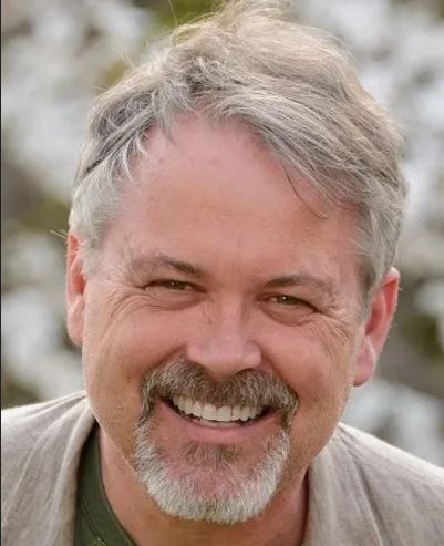 James Armstrong has been involved with the URISA family for many years. Beginning on the Carolina URISA Board of Directors, including a year as President, then serving on the Board of Directors for NEURISA and finally serving a 3-year term on the URISA Board of Directors. James is now living in Boston MA as a partner in GIS consulting firm - Spatial Relationships, LLC. Additionally he currently serves as a Faculty Affiliate for the Geospatial Program at the Northeastern University College of Professional STudies. He is honored to work with the NEURISA Board and members in whatever manner is most productive.
Ryan Norton, GISP, Immediate Past President and Webmaster
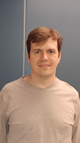 Ryan Norton is the GIS Specialist for the Town of Foxborough, Massachusetts, where he has worked since July 2013. He received his Bachelor of Science at UMass Boston where he studied Earth, Environmental and Ocean Science with a GIS concentration, and his Master of Arts in Geographic Information Sciences at Clark University in Worcester, MA. He also spent summer 2022 taking a class at NUI Galway in Ireland. He became a GIS in July 2024. In his spare time he is developing a website using PostGIS which will facilitate connections between GIS professionals, employers, academia, and other organizations. He is also an avid musician, enjoys getting outside, loves to travel, especially to Europe, and is an avid runner having just completed his first marathon.
A. Tito Sanchez, GISP, President-Elect
 With over 17 years of experience in the engineering, utilities, and consulting fields, Tito utilizes his geospatial know-how to provide clients with the ability to solve complex real-world problems. Tito’s dedication to his clients, professional achievement, and a deep knowledge of Geographic Information Systems allows clients to see issues in a different light, empowering them to determine unique solutions for their specific projects.
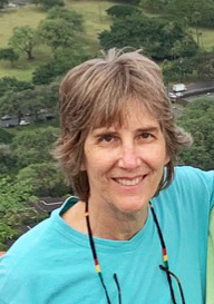
Rosemary Mosher, Treasurer
 Rosemary is a GIS data visualization specialist for Viewshed in Yarmouth, ME. She works with numerous clients assisting them to tell their stories using visual tools. Rosemary has a great deal of experience working with ArcGIS Online, training, and working with a variety of municipal government GIS projects. After spending nearly 20 years as a data analyst, she returned to college to find a new passion and found it in GIS, graduating from the University of Southern Maine with a degree in geography and geology. In the 25 years since that time, she has worked in academia as a GIS curriculum developer and GIS instructor, in the public sector as a GIS Manager, and currently in the private sector. In her spare time, she enjoys quilting, reading, spending time outdoors, and exploring Maine’s rich history.
Matt Franz, GISP, Secretary
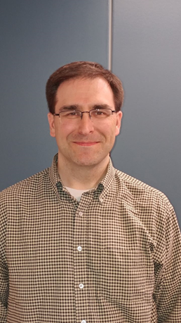 Matt Franz is the GIS Analyst at the Central Massachusetts Regional Planning Commission (CMRPC) where he provides GIS management, services and support to CMRPC staff, member communities and outside agencies. Activities include GIS data/Database development/maintenance, GIS training, GIS/Database technical support and project development and implementation. Matt has been working in state and municipal GIS since 2000. He holds a Bachelor’s degree in Political Science with a minor in Cartography from the University of Massachusetts, Amherst. When not creating maps and editing data, Matt enjoys spending time with his family, playing board games, swimming and most things Sci-fi.
Craig Austin (At-Large)
 Craig has over ten years experience as a GIS Analyst, all at MassGIS. For about 10 years, he has been managing the QA process for our Parcel/CAMA statewide datalayer. This involves receiving incoming submissions from each of the 351 cities and towns (plus the economic development area of Devens), working with GIS staff or designated vendors to correct issued uncovered, and preparing the files for uploading. Craig also reviews challenges to MassGIS representation of municipal boundaries and coordinate what must be done. He volunteers with several organizations including two watershed associations, Blue Hill Meteorolical Observatory, and Norwood Trails Committee, and volunteered at the FOSS4G Conf in Boston.
Andrew Bartshire (At-Large)
 Andrew moved to Bristol, Rhode Island in 2020 and for the last 10 years has been working with CSG developing our program’s GIS capabilities. In that time we have gone from paper maps with hand drawn “x’s” to a fully integrated ArcGIS Enterprise using Survey123 and Field Maps for data entry and ArcGIS Online for data sharing. We have become a hub for local stakeholders to access our data and also our forms that are being used by multiple agencies. I am currently working remotely as the GIS and IT manager with CSG and manage two full time staff. In my free time I enjoy construction, photography, and gardening. My wife, Suzanne, is a nurse at Newport Hospital and we have a full house with two cats (Folly and Kirra) and our dog (Hygge).
Lynn Carlson, GISP (At-Large)
 Lynn Carlson has over 25 years of experience working with Geographic Information System software and geospatial databases. She was first exposed to GIS in the late 1980s while working at the Rhode Island Department of Environmental Management, and the technology was in its infancy (command line ArcInfo v. 5). In 1998 she moved from RIDEM to Brown University to manage the school’s newly formed dedicated GIS and Remote Sensing computer lab. In this position, she provided GIS expertise to researchers, staff, students, and facility managers across campus for 23 years. Having just retired from Brown (October, 2021) she is now doing freelance GIS work dba Compass Cartographic, remains an active member of the RIGIS Executive Committee, and has recently been appointed to her town’s conservation commission. Lynn is an avid dog sport enthusiast and regularly participates in agility, barn hunt, and nosework.
Danica Cucchi (At-Large)
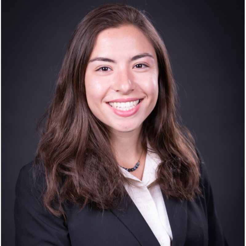 Danica Cucchi is the GIS Coordinator for the Town of Sharon in Massachusetts. She received her Bachelor's degree at Framingham State University where she studied Environmental Science, Law, and Policy with minors in GIS and Biology. Danica has contributed to both the private and public sectors, where she has brought her passion for GIS for the use of utilities and asset management. She is also looking to spearhead Stormwater infrastructure for the town and to teach both residents and staff about the infinite use of GIS. Danica loves to connect with people in the GIS community and to learn more. In her spare time, she enjoys finding new trails to hike and listening to music!
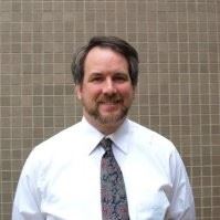
James Cunningham
 James Cunningham is the GIS & Mapping Supervisor at Vermont Gas Systems (VGS). He is an experienced GIS professional with a passion for using GIS to solve problems, create efficiencies and help his colleagues. James graduated from Keene State College with a BA in geography in 2009. James went on to work in the E-911 Emergency Telecommunications field for five years before transitioning to his current role as GIS lead at VGS in Northwest Vermont. James is a tireless advocate for GIS, specializing in asset management, GPS data collection, outage management, and emergency preparedness. His free time is spent with his wife and two kids plus numerous dogs, chickens and ducks - and loves fishing, hunting, and cooking.
Lucia Lovison
 Lucia Lovison Golob is an experienced GIS and Remote Sensing professional who is on the Leadership Board of directors of Beth Israel Deaconess Medical Center and the Afriterra Foundation. In March 2017, Lucia also became a Remote Pilot of drones which she also does now. Lucia graduated in engineering geology from University of Padua, Italy, in geophysics from Harvard University, and in remote sensing from Boston University. Geographic Information Science has frequently been the basis for her accomplishments, and Lucia hopes to transmit the same enthusiasm to whoever enters the profession now. Lucia spends time with her husband Richard, and their two kids, of which one is almost ready to marry. When Lucia doesn't maneuver drones or is not with family and friends, she likes to read, do puzzles, hike in the mountains, and canoe.
Katie Walker (At-Large)
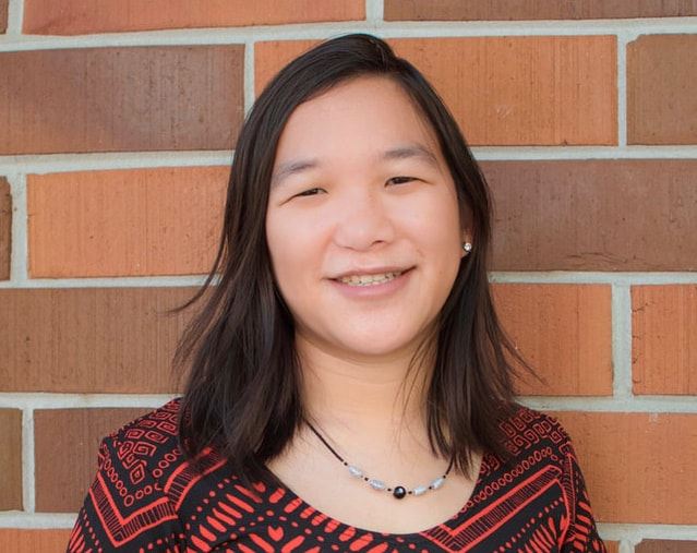 Katie Walker is a geospatial professional with cross cultural communication skills and a passion for utilizing data visualization for environmental and social issues. Katie graduated from the University of Florida with a B.S. in Geography and certificate in Geospatial Information Analysis. She has worked internationally and currently volunteers with the Red Cross. Katie also enjoys volunteering, traveling, photography, and cooking.
Sarah Wilkinson
 Sarah Wilkinson is a GIS Analyst with the U.S Army Corps of Engineer in the New England District. She started her career with the U.S. Forest Service and National Park Service in Utah and Wyoming. After obtaining her Masters in Wildlife Biology at SUNY-ESF, she was a wildlife biologist at an Army Corps project site in Central Washington. In 2022, she earned a graduate certificate in Geospatial Programming and Web Map Development from Penn State and the year prior she obtained her GISP certification. In her free time she skis, sails, and hikes.
Tim Woodfield, GISP (At-Large)
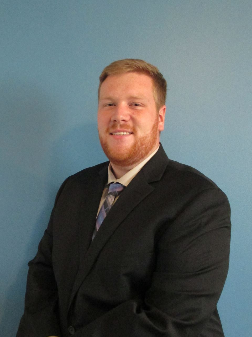 Tim Woodfield is the Senior Geospatial Specialist at Dawood Engineering where he acts as the project lead on asset management, data collection, and inspection projects, along with providing overall project management. Tim also oversees the online mapping and web application deployment for the department. He has been with Dawood for what will be 5 years in March and recently obtained his GISP. Tim graduated from Central Connecticut State University with a bachelors in Environmental Geography with a focus in GIS. Go Blue Devils! Outside of work, Tim enjoys hiking, mountain biking, going to sporting events, and finding new restaurants and breweries throughout New England.